Progetti Pubblicati

  • project image
    I luoghi della memoria

    Load the map View metadata

  • project image
    Mappe 3D

    Load the map View metadata

  • project image
    Piano Gestione Rischio Alluvioni

    Load the map View metadata

  • project image
    Piano Territoriale di Coordinamento Provinciale

    Load the map View metadata

  • project image
    Valutazione Impatto Ambientale

    Load the map View metadata

Protezione Civile

  • project image
    Piano Provinciale di Protezione Civile

    Load the map View metadata

  Base Layer

project image

Title
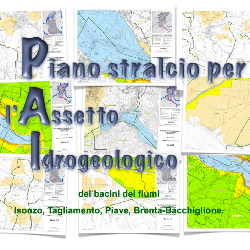
Piano di Assetto Idrogeologico 

Description
Licenza: IODL (Italian Open Data License) 2.0 - http://www.dati.gov.it/iodl/2.0/
Ortofoto 20cm [2018] AGEA - Tutti i diritti riservati 

Person
Anna Za 

E-mail
a.za (at) provincia.belluno.it 

Projection
EPSG:3003 

Extent
1661052.89360000006854534, 5082378.22499999962747097, 1830971.29640000010840595, 5177928.85500000044703484

 Locating 

 Print 

 Measures